|
||||||||||||
|---|---|---|---|---|---|---|---|---|---|---|---|---|
Tour de Greenhorn MountainWet Mountains, Colorado |
||||||||||||
|
|
||||||||||||
|
||||||||||||
|
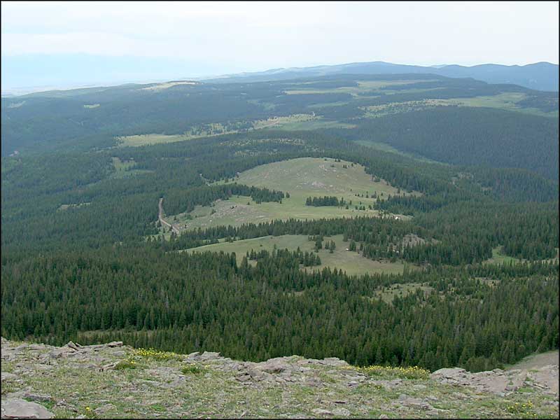
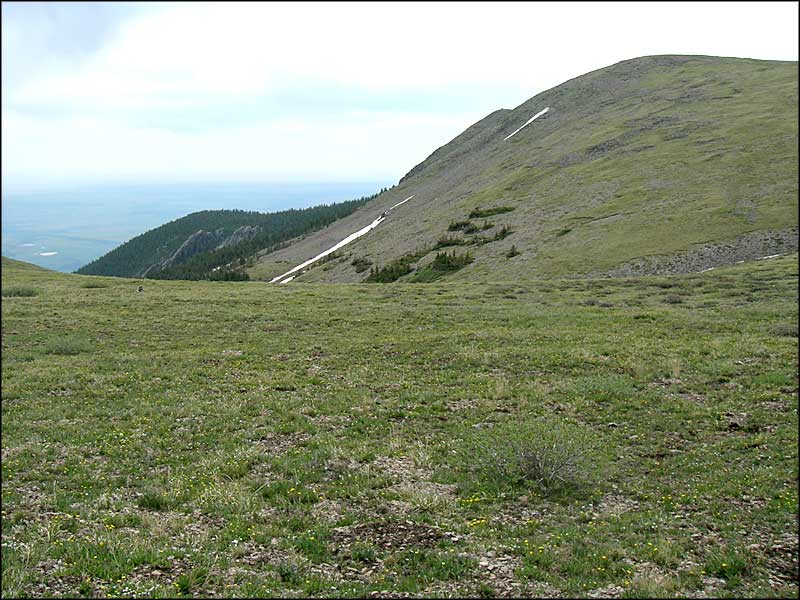
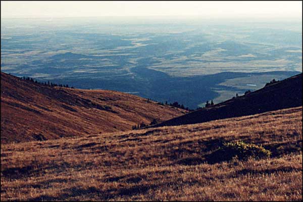
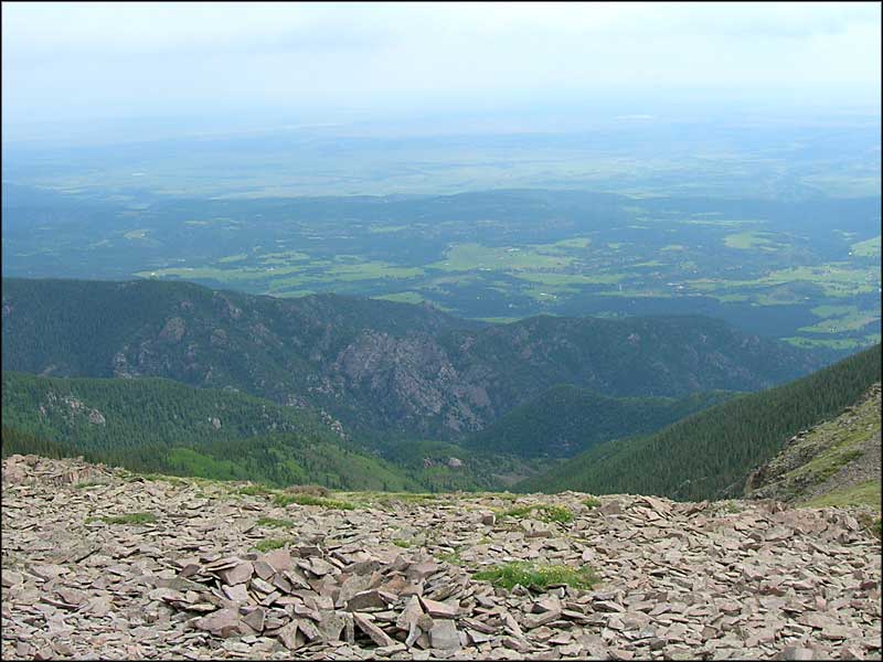
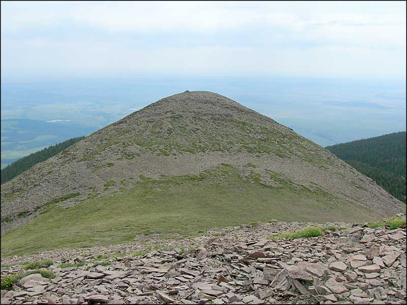
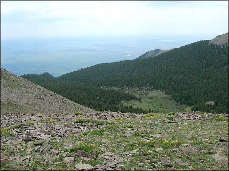
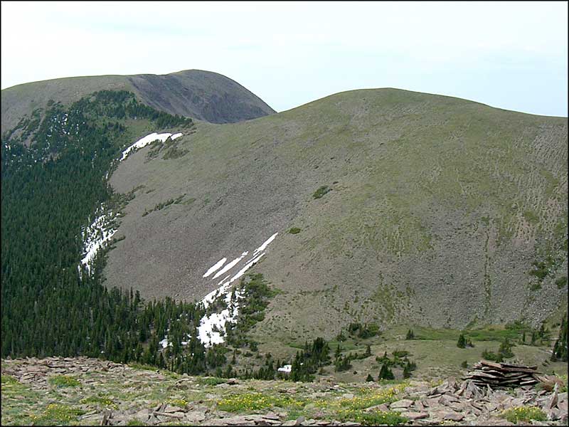
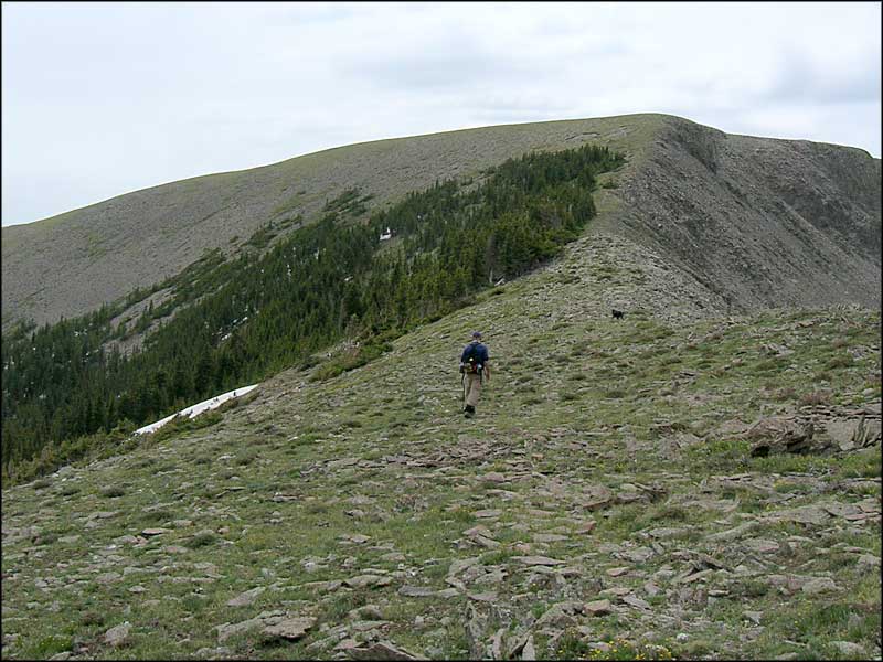
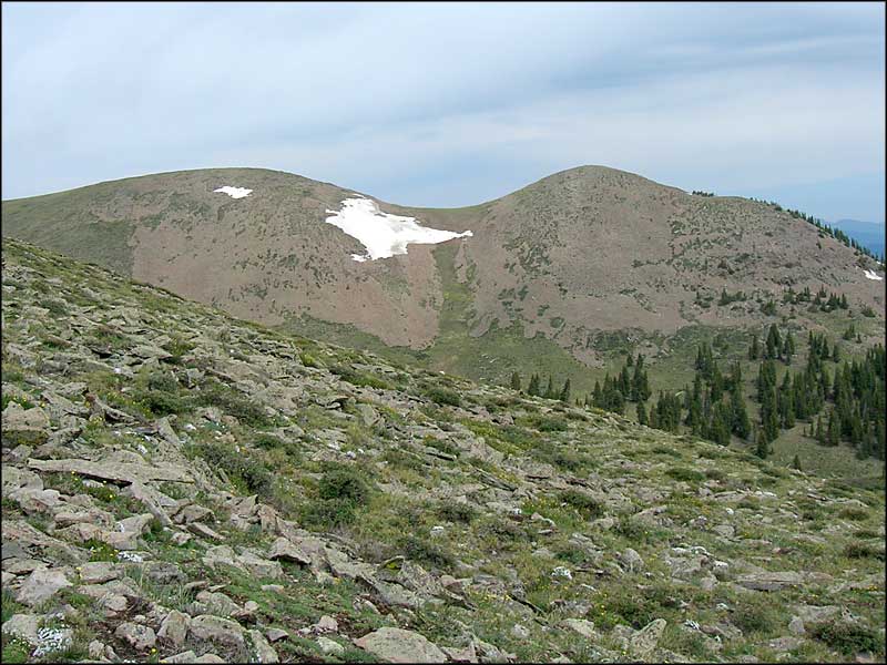
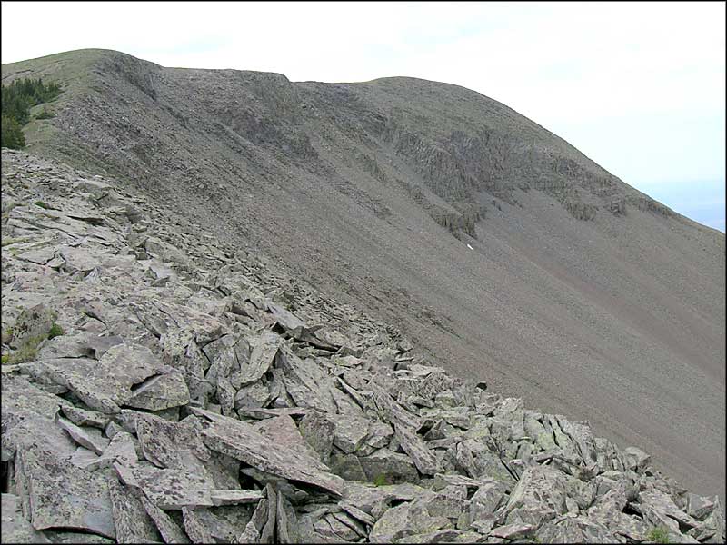
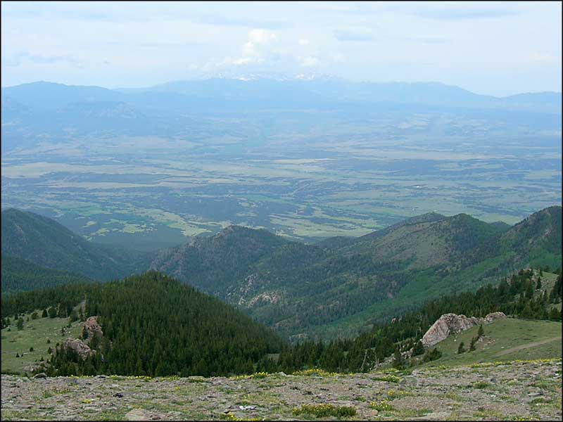
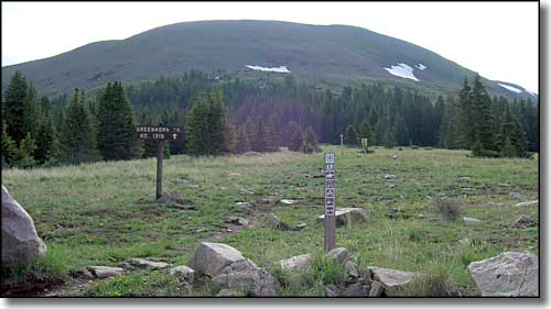
This small group of photos commemorates a late summer journey onto Greenhorn Mountain. Greenhorn Mountain is at the southern end of the Wet Mountains. There is Forest Service road right to the bottom of the rock pile, then you walk. The parking area is right at the northwestern boundary of the Greenhorn Mountain Wilderness of the San Isabel National Forest. The trail leading up onto the summit "plateau" of Greenhorn is short and almost sweet. Once up top there's not a lot of trail marking around but it doesn't make much difference: virtually the entire upper area of the peak is a grass-and-wildflower covered meadow. Near the southern peak is an area where you'll be better off walking along the edge of the ridge above the few trees to get to that highest point of Greenhorn Mountain. Greenhorn (and most of the Wet Mountains) are made of that same pre-Cambrian granite that forms the Blanca Massif, Pikes Peak and most of the Front Range. That mass of rock is about 1.8 billion years old. Greenhorn is different from most of those other mountains, though, because of that area above treeline: it is composed of rock from the same igneous intrusion that formed the Spanish Peaks (to the southwest) and the Mt. Mestas-Silver Mountain-Sheep Mountains complex (to the west), about 25 million years ago. |
||||||||||||
| Clicking on any of these photos will open a new window or new tab in your browser and bring you a larger version of that photo. |
||||||||||||
| ||||||||||||
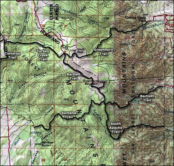 Greenhorn Mountain area map |
||||||||||||
|
|
||||||||||||
Greenhorn Mountain Related PagesSan Isabel National Forest PagesColorado Pages
Towns & Places - Scenic Byways - State Parks - BLM Sites - History & Heritage Ski & Snowboard Areas - Photo Galleries - Colorado Mountains - Scenic Railroads Unique Natural Features - Wilderness Areas - Outdoor Sports & Recreation Colorado's National Forests - National Wildlife Refuges - Colorado's National Parks |
||||||||||||

|
||||||||||||
| Index - Arizona - Colorado - Idaho - Montana - Nevada - New Mexico - Utah - Wyoming National Forests - National Parks - Scenic Byways - Ski & Snowboard Areas - BLM Sites Wilderness Areas - National Wildlife Refuges - National Trails - Rural Life Advertise With Us - About This Site - Privacy Policy |
||||||||||||
| Photos courtesy of Sangres.com, CCA ShareAlike 3.0 License. Map courtesy of National Geographic Topo! Text Copyright © by Sangres.com. All rights reserved. |