Mount Wilson Wilderness

Mount Wilson Wilderness
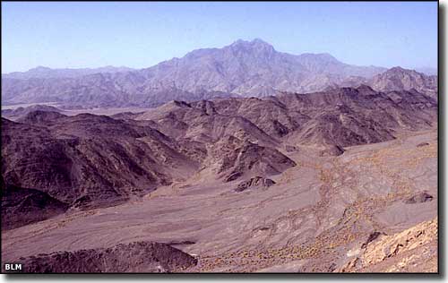
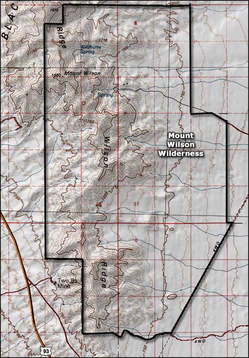
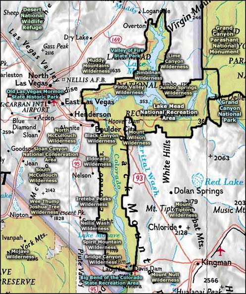
The Mount Wilson Wilderness is surrounded on 3 sides by the Lake Mead National Recreation Area. The 23,900-acre wilderness is stretched out along Wilson Ridge, about 30 miles southeast of Las Vegas in northwestern Arizona. The high point of the property is Mount Wilson (5,445'). As you approach Mount Wilson Wilderness on US 93, you'll probably be thinking this is just a stark and barren, waterless, rocky, extremely rugged landscape. Mount Wilson Wilderness is all of that but, in spots, there are reliable year-round springs that support riparian areas and lots of wildlife, including about 100 desert bighorn sheep.
Wilson Ridge rises to more than 3,000' above the surrounding desert floor, affording great views of the badlands, mesas, mountains, colored cliffs, and deserts that surround Lake Mead. There aren't a lot of established, maintained trails but there are quite a few good primitive campsites. The "best" trails you'll find are old overgrown jeep trails and maybe some wild burro and bighorn sheep trails. Best time to visit is between October and April.
To get to the Missouri Spring Access: go south of Hoover Dam about 19 miles on US 93, turn northeast onto the Temple Bar Road. About 10.8 miles in you should come to Road #130 on the Lake Mead National Recreation Area. Turn left and go about 3.1 miles to trailhead parking. You're going to want high clearance 4WD for this access.
USGS Maps: 7.5 minute: Mount Wilson, Petroglyph Wash

Mount Wilson Wilderness map

Mount Wilson Wilderness area map
