
Moffat, Colorado
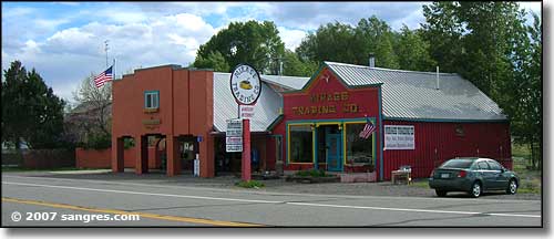
The Moffat business district
At one point in the 1870's, Moffat had several thousand residents and was at the center of a trade and freight network that made Moffat a major mining and stockyards hub for southern Colorado. When it came time to settle on a city as the capital of the new state of Colorado, Moffat came in second in the voting, losing out to Denver. Moffat saw the mines peter out and then most of the agricultural business moved west after the federal government built a water diversion system to carry water from the north half of the San Luis Valley across the central divide and into the lower Rio Grande (the US lost a water suit with Mexico and had to make up the shortfall somehow, and they wouldn't take back the water rights already being used by farmers in the Rio Grande drainage - this is actually a very long story with lots of complications and is still causing problems down south - the water debt has since been erased but the local folks have not been given back access to the local water).
As usual, I didn't take photos of the new stuff, just the historic stuff. Moffat seems like a quiet little town in the heart of the San Luis Valley, meaning that it's easy to get from here to the mountains, forests and other wilderness adventure stuff that really attracts people like me...
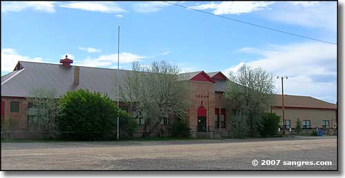
Moffat schools
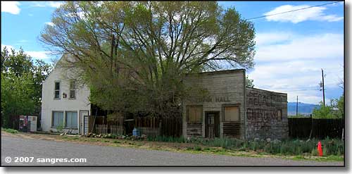
Says it's Moffat's town hall
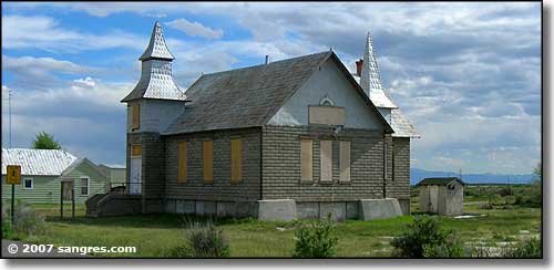
The old Moffat church
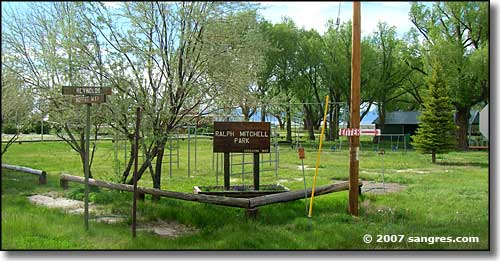
The town park
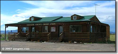
Also in the business district
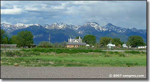
Looking east across Moffat to the Sangre de Cristo's
Latitude: 37.9989°N
Longitude: 105.906°W
Incorporated: April 20, 1911
Elevation: 7,566'
Education:
High School or Higher: 94.4%
Bachelor's Degree or Higher: 36.1%
Graduate or Professional Degree: 19.4%
Estimated Median Household Income: $17,600
Estimated Median Home Value: $81,200
Median Resident Age: 45.0 Years
2011 Cost of Living Index for Moffat: 91.5
Unemployed (March 2011): 12.8%
Population Demographics: 2010
| Total Population | 116 |
| Males | 54 |
| Females | 62 |
| Population by Age | |
| Under 18 | 32 |
| 18 & over | 84 |
| 20-24 | 7 |
| 25-34 | 12 |
| 35-49 | 18 |
| 50-64 | 26 |
| 65 & over | 19 |
| Population by Ethnicity | |
| Hispanic or Latino | 11 |
| Non Hispanic or Latino | 105 |
| Population by Race | |
| White | 114 |
| African-American | 0 |
| Asian | 1 |
| Native American | 1 |
| Hawaiian or Pacific Islander | 0 |
| Other | 0 |
| Two or more | 0 |
Rio Grande National Forest - State Trustlands & Wildlife Areas
La Garita Natural Arch - Penitente Canyon - Russell Lakes SWA
Cochetopa Hills 1 - Cochetopa Hills 2 - Joyful Journey Hot Springs Spa
Mountains
Sangre de Cristo Mountains - Sawatch Mountains - San Juan Mountains
The Crestones - Kit Carson Peak - Panoramas: Sangre de Cristo Mountains
National Park Service Sites - BLM Sites - National Wilderness Areas - Unique Natural Features
Outdoor Sports & Recreation - Ski & Snowboard Areas - Photo Galleries - Colorado Mountains
