
Scenic Highway of Legends
Stonewall to Cuchara Pass
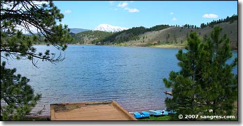
Monument Lake
From Stonewall, the Scenic Highway of Legends goes through the Dakota Wall and turns north, climbing steadily and shortly passing Monument Lake Park (the lake is named for the Dakota Formation monument that was sticking up in the middle of it. The monument fell over in the winter of 1999-2000). Monument Lake is owned by the City of Trinidad and is part of its water supply. The lake is a natural body of water made deeper by man. The buildings surrounding the lake are part of a resort built by the WPA in 1937.
The monument that fell over was said to represent two Native American chiefs. At the time of the volcanoes, the water disappeared from the mountains. The Native Americans started dying of thirst. A chief from the northern tribes traveled south to find water. At the same time, a chief from the south traveled north. When they met, they hugged in friendship. Then, realizing that neither had found water, they began to cry. Their tears formed a lake at their feet. Suddenly, one of the volcanos blew smoke and lava into the air. The two chiefs, still hugging, were covered by lava and turned to stone. The lake remained, encircling the two chiefs. Their tears had caused the volcanos to stop and the water to return and flow forever for their people.
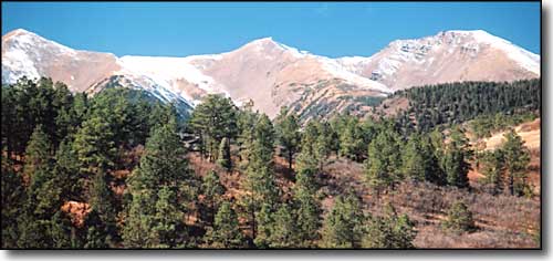
Mts. Mariquita, Maxwell and Cuatro
From Monument Lake the Byway continues north a couple of miles to North Lake State Wildlife Area (trophy fishing lake and Trinidad city water supply). Just south of North Lake is the Forest Service Access Road leading to Purgatoire Campground and the south end of the San Isabel National Forest. You might miss the first road west to Purgatoire but you won't miss the beaver ponds before the second road west. The North Fork Trail leaves out of Purgatoire Campground along the streambed of the North Fork of the Purgatoire River, going north to the Trinchera Peak trail. About a mile up this trail is where access to Cuatro Peak is easiest. If you want to climb Maxwell, it was that jeep trail heading up the hill to the west, about 1/4 mile below the campground.
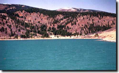
North Lake
Constructed in 1907, North Lake was created to supply water to the City of Trinidad. The lake is also a State Wildlife Area and is home to four species of trout: Rainbow, Cutthroat, Kokanee and Brown.
It was in the Purgatoire River drainage above North Lake, or so they say, that Tom Tobin had a cabin in his later years. Tobin had the reputation of having an uncanny ability to track and find lost persons or fugitives. It was Tom Tobin who put an end to the reign of terror of the Espinosa brothers in 1863, after they had killed 32 men. Their trail led from the San Luis Valley north and east to Pueblo, Canon City, South Park, Alma and Fairplay. A $2500 reward was offered for the Espinosas' capture, dead or alive.
Col. Sam Tappan at Fort Garland sent Tom Tobin and 15 troopers to catch the two outlaws. On the fourth day, the party caught up with the Espinosas on La Veta Creek (South Abeyta). Both outlaws were shot, then Tobin cut off their heads and stuffed them in a gunny sack. The party returned to Fort Garland where Tobin presented the heads to Col. Tappan.
Colorado Governor Evans bought Tobin a buckskin suit for his efforts. Tobin received part of the $2500 reward years later, but never the full amount. Those who visited Tobin in his later years say he always slept with a gun, fearing that relatives of the Espinosas would come after him.
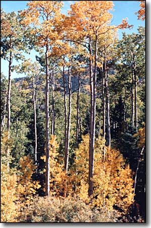
The highway continues past North Lake and continues climbing almost steadily to the summit of Cuchara Pass (elevation: 9,995 feet). There are very few buildings along this stretch of road but the views are gorgeous. Lots of wildlife, lots of wildflowers. Except for the North Lake and Monument Lake areas, nearly all of the land along the highway is private.
The highway doesn't touch National Forest until the summit of Cuchara Pass. At the summit of the pass is where the other branch of the Scenic Highway of Legends: from Aguilar over Cordova Pass to Cuchara Pass, comes out.
The route the Byway takes over Cuchara Pass was a Native American trail used as early as 1779. In 1865, Henry Daigre hired Hiram Vasquez to construct a wagon road from La Veta to Stonewall over the pass. In 1883 this road became a mail route connecting the several little post offices upstream of Trinidad along the Purgatoire River in Las Animas County to the Cuchara Valley, La Veta and points beyond.
Long before the European invaders' road appeared, Native Americans gathered at the top of Cuchara Pass each month to share stories of brave deeds. They would have a feast and dance around the campfire. Each warrior would make up a dance telling of his bravery. The warrior with the best dance and the bravest deed would be given a large feather to wear as he repeated his dance. As he circled the fire, he would begin to rise until he was as high as the tops of the trees. Then he and the rising spiral of his dance would be turned into a spruce tree. As the years passed, a forest of spruce trees was formed. Look closely and the brave and his spiral dance can still be seen in the trees themselves.

Looking south at the summit of Cuchara Pass
