
Bighorn Sheep Canyon on the Arkansas River
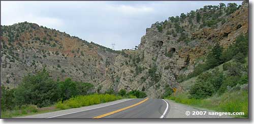
Heading into the canyon, just east of Salida
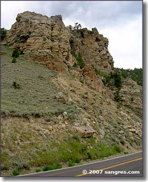
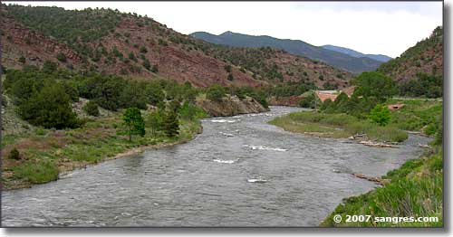
The Arkansas River Canyon is obviously the result of some heavy-duty movements of the Earth. It's one thing to look at the folds and slopes of the rock layers resulting from mountain-building forces and quite another to think that the canyon is the result of water action over several million years as the Arkansas River slowly cut it's way down into the rock layers. Either way, this canyon is quite the display of the forces of Nature at work over a long period of time.
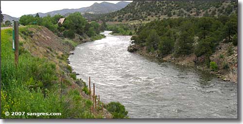
I've also seen some governmental ideas in regards to widening US Highway 50 through this area and... take a look at the photos and you figure out the potential cost to the taxpayers. This is beautiful countryside but this road sees a lot of traffic, especially in tourist season as this is the primary route into the Arkansas River Headwaters Recreation Area: one of Colorado's biggest tourism draws.
You might also see from these photos that rock climbing in this area has to be incredible, but so is the whitewater rafting: the Arkansas River is one of America's biggest names when it comes to whitewater...
So any attempt to widen this road will cost not just the dollars for the work but also the dollars lost to local businesses who make their entire incomes here. That whitewater stream supports an awful lot of people and any messing with the traffic or the river itself will be very expensive. You might be able to tell from this that I like the canyon just the way it is... and our governments just don't have a very good record when it comes to "improving" on Mother Nature.
These photos were taken while I was driving east of Salida a couple hours before sunset. I saw only one raft on the river but at some of the pullouts were crowds of folks who probably just got off the water. Bighorn Sheep Canyon is one of the busiest rafting areas on the Arkansas and in the morning there's people everywhere. 2007 saw a lot of heavy snowfall and the high level of runoff this year is going on far longer than usual.
As I was returning from Salida, I made the turn south at Cotopaxi and headed up over the hill into Custer County on my way back home.
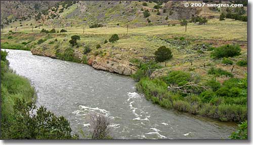
A bit of whitewater but the river's really high
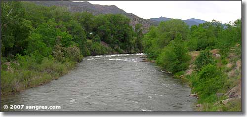
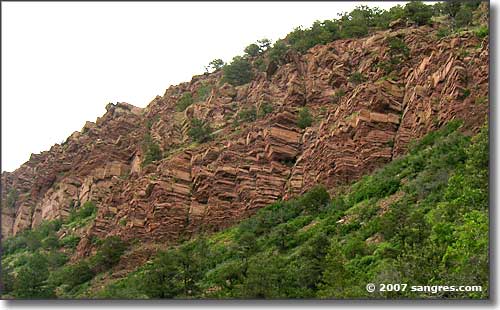
Quite the rock formations
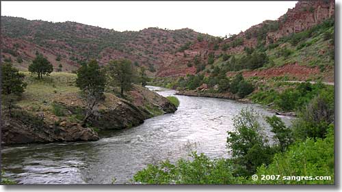
Heading back into narrow canyon
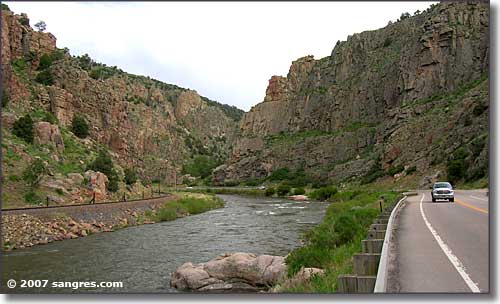
...and even narrower canyon
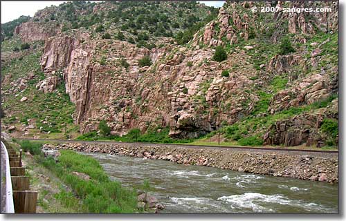
The best whitewater is actually hidden from the road, or I'd have some really wild photos
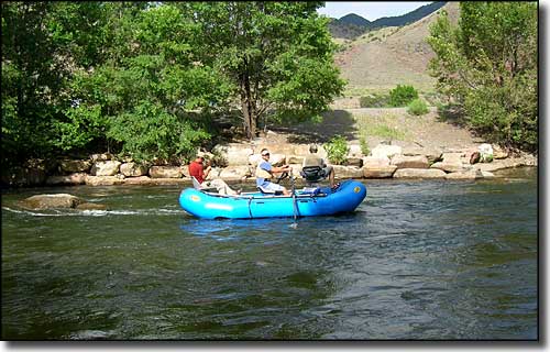
...and then there's the fishermen.
Pike National Forest - San Isabel National Forest
Monarch Ski Area - Monarch Pass - Collegiate Peaks Scenic Byway
State Trust Lands & Wildlife Areas - Arkansas River
Arkansas Headwaters Recreation Area - Salida Municipal Golf Course
Mountains
Sangre de Cristo Mountains - Sawatch Mountains
Tabeguache Peak - Mt. Shavano - Mt. Princeton - Mt. Antero
National Park Service Sites - BLM Sites - National Wilderness Areas - Unique Natural Features
Outdoor Sports & Recreation - Ski & Snowboard Areas - Photo Galleries - Colorado Mountains
